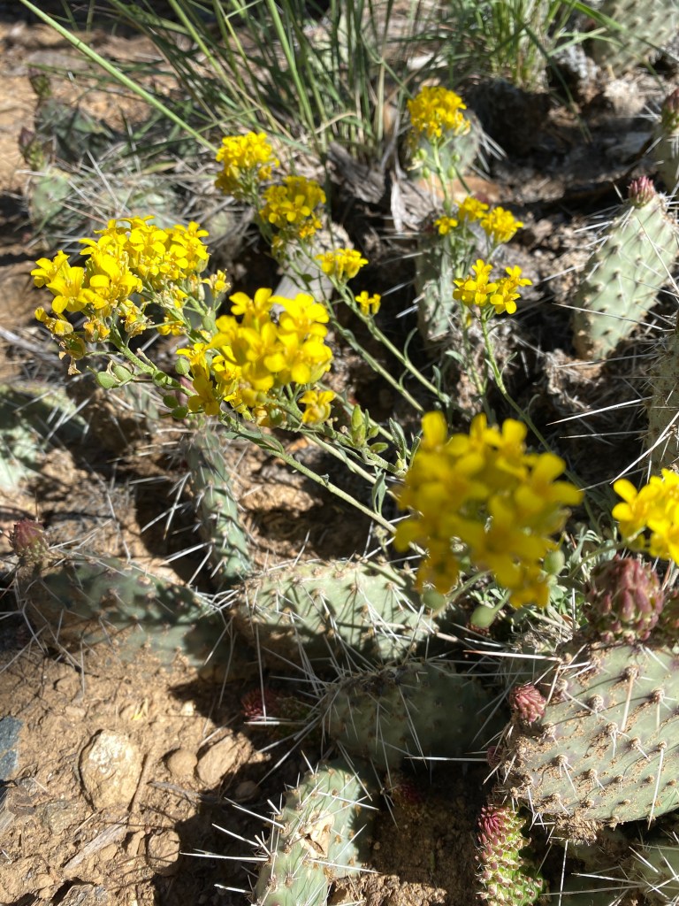
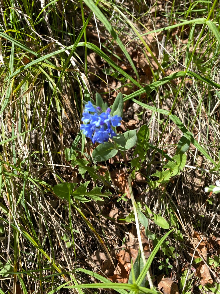
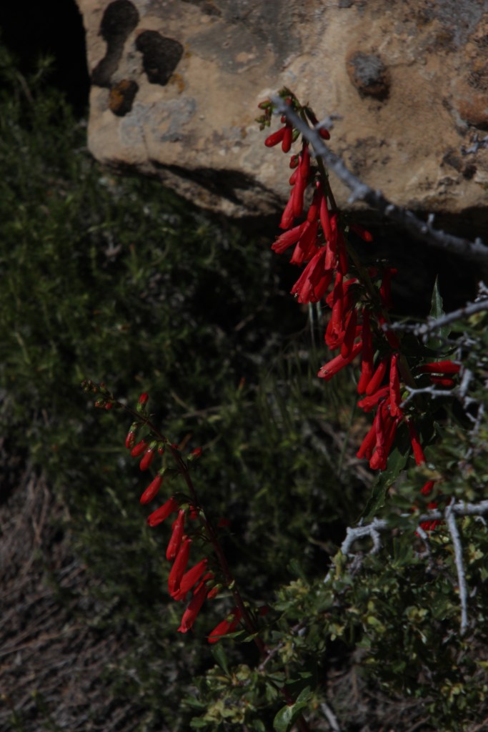
One thing I have been fascinated by here in Colorado is the variety of flowers that can thrive in such an arid climate. It’s so thrilling to be hiking through the craggy mountains or dry, rocky canyon and see pops of color. As we hiked there was a lot of “Oooh, look at this one!” and “Oh, so pretty!” followed by “I wonder what that is” with a sidelong glance to me, hoping I will pull out my plant identification app!
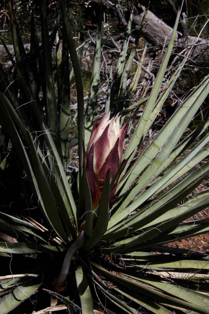
Evening PrimroseKingcup CactusAlpine SunflowerPrickly pear Century plantThree different ID apps hardly ever agree, so these are my best guesses!
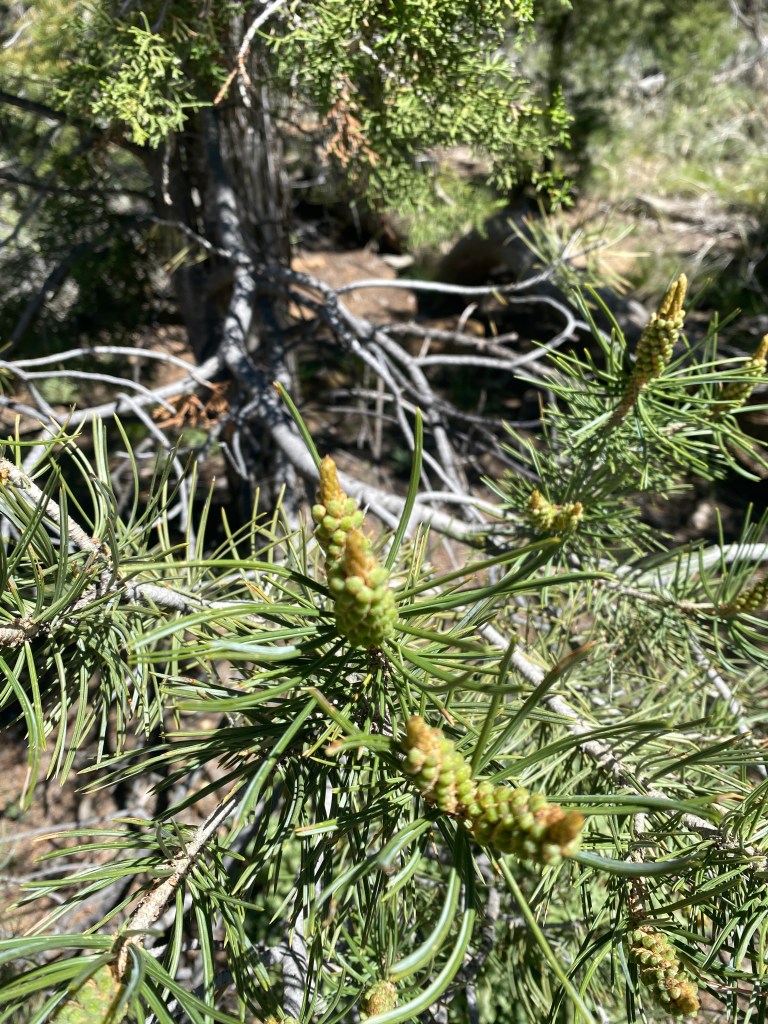
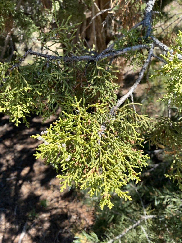
Trees and shrubs sometimes looked the same as one we have in Virginia, but were different enough that I had to look those up too.
Today, it’s just Caroline and I. And today, I lived up to my trail name. It was the nerdiest of days yet!
This morning, Caroline and I drove out to Red Rocks Amphitheater. What I didn’t realize when I agreed to go there, is that there are a LOT of stairs. I lost count of how many from the parking lot to the top of the venue, but suffice to say, I got a good workout today.
I didn’t dare.
The venue is breathtaking, with views of the Denver skyline behind the stage area and the red rocks looming 300 feet on either side of the seating area. Although the visitor center was closed, we were able to visit the Trading Post, which houses history of the development of the amphitheater as well as the Colorado Music Hall of Fame. It was fascinating to read that concerts have been going on at the site as far back as 1906, although it was a rudimentary stage at best. And while I never equated Colorado with ‘music history’ the area has drawn big name acts for almost as long.
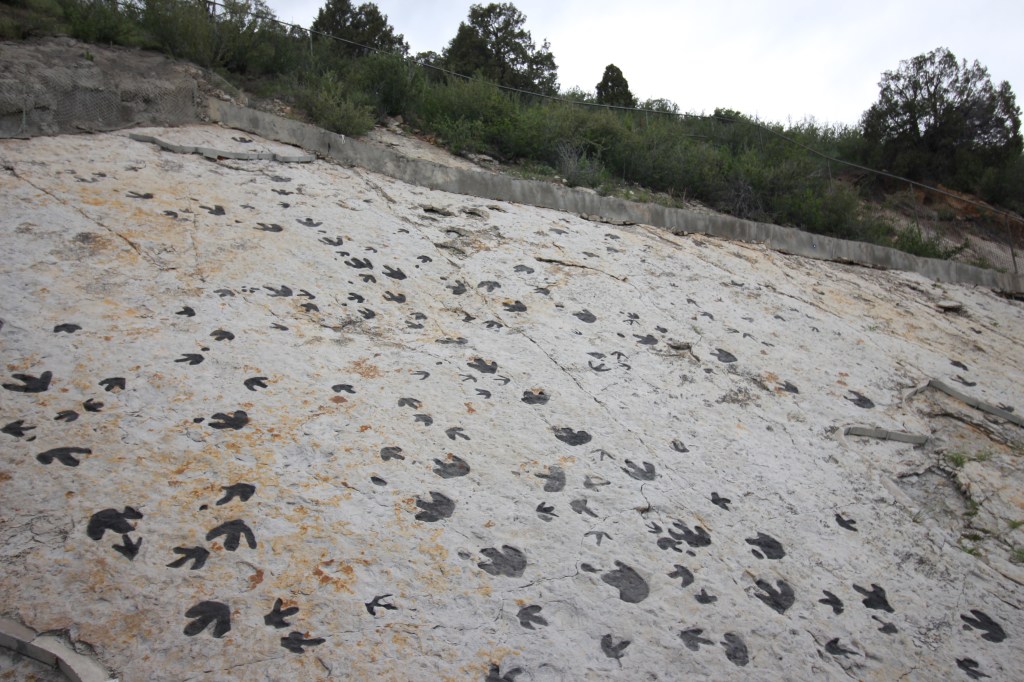
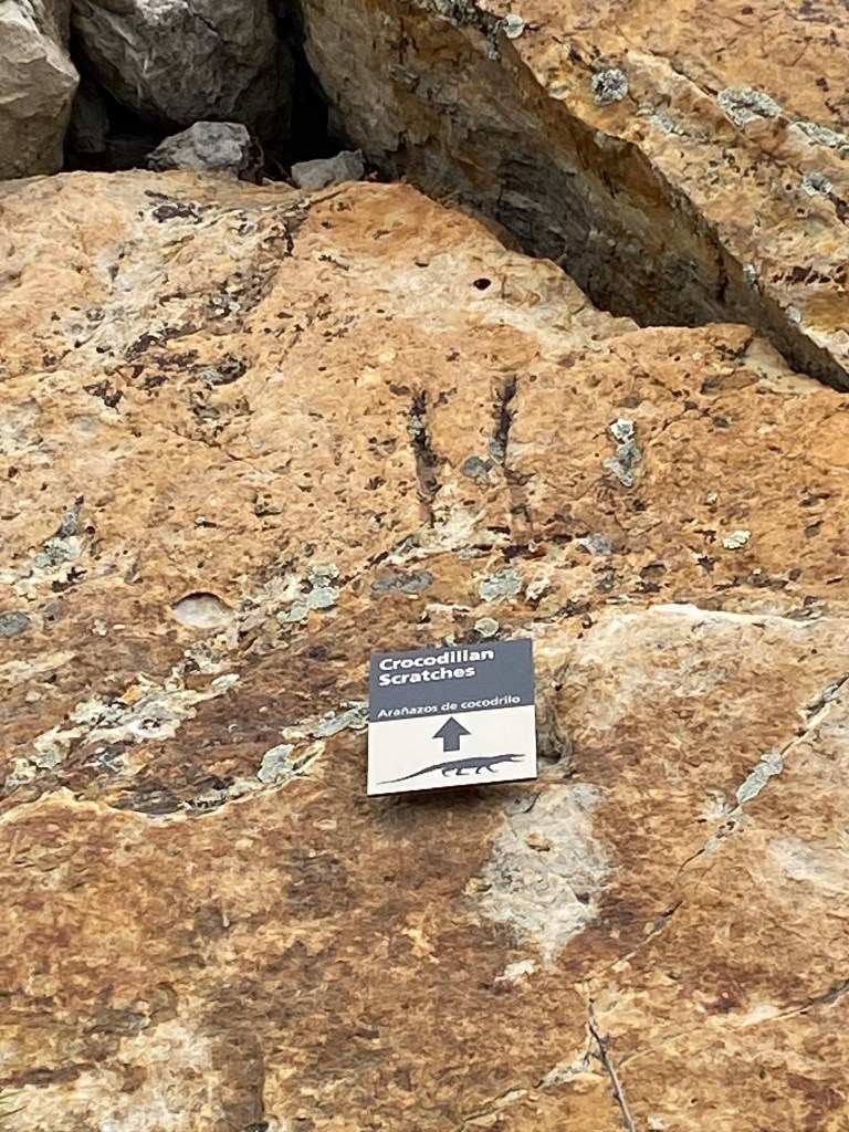
After a little music nerdiness, we drove over to Dinosaur Ridge for some old school (no pun intended) nerd moments. Dinosaur Ridge is where the first stegosaurus discovery was made in the late 1800s! And it is home to so many fossils and dinosaur tracks that are so easy to see from the walking path. Feelings of insignificance bubbled up again as I looked at these tracks made millions of years ago, when this part of Colorado was underwater.
Dinosaur tracks
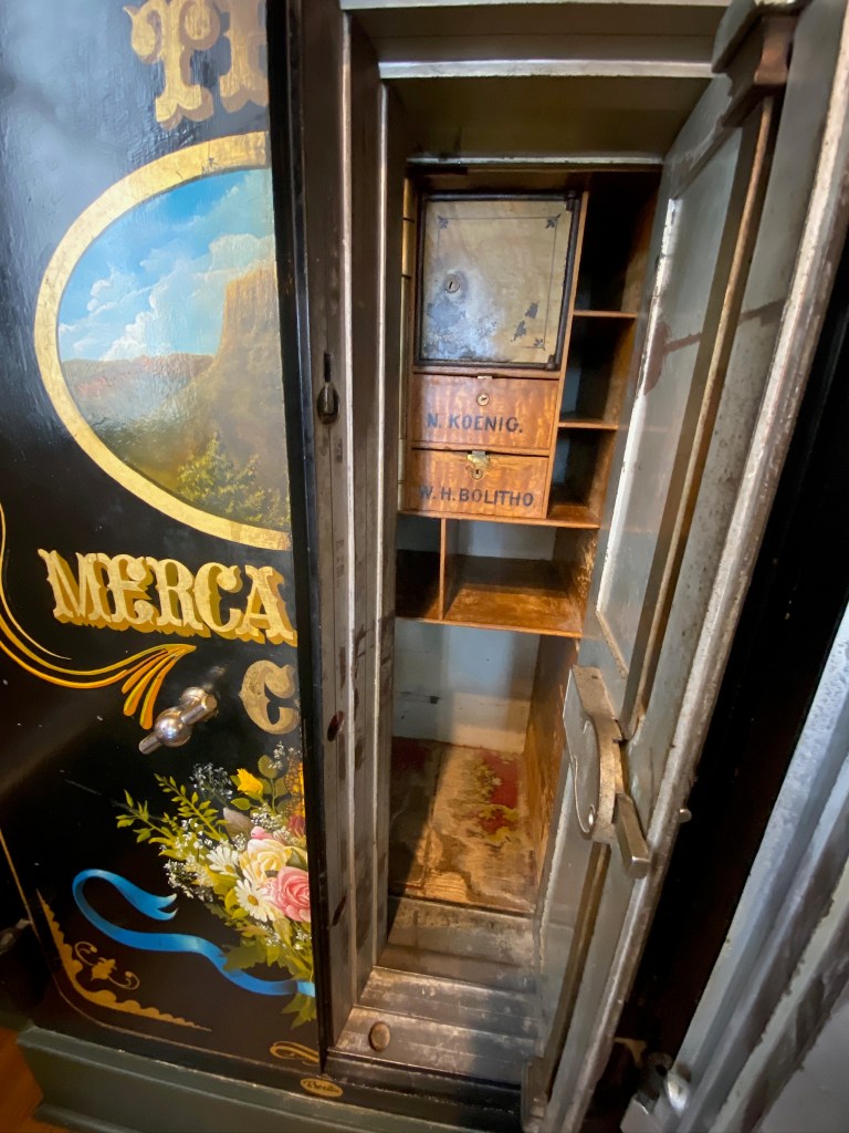
After a morning of learning, we drove to Golden to have lunch. We had a very tasty meal at the Old Capitol Grill and Smokehouse. Even this building provided learning experiences…this was once the Capitol building when Golden was the capital of the Colorado Territory. There’s still a safe from the early days!
The safe at the old capitol building
We walked off our lunch by browsing the shops downtown and walking the trail along Clear Creek. We caught a glimpse of the enormous Coors plant, and even saw some brave souls floating in the rushing water of the creek.
Around 6:30 pm we drove around to pick a location for some sunset photography. Shooting the sun sinking behind the mountain proved to be challenging, but it was pretty nonetheless.
Back we drove to Louisville and, for the second night in a row, we had to fight off “Miller moths” in the house. These critters apparently migrate through Colorado every year, but this year, they are hanging around due to the smoke from the Canada wildfires. Thanks, Canada. Last night, we were frantically trying to swat the erratic flyers, and when that didn’t work, we started spraying them with hair spray in hopes it would weigh down their wings so they couldn’t spaz around. Tonight, we bought flying insect spray, and sprayed frantically at them until they slowed down enough to swat them. I think both Caroline and I pulled a muscle on that swatting action.
Here’s to a hopefully moth-free sleep, and another day of adventure tomorrow!
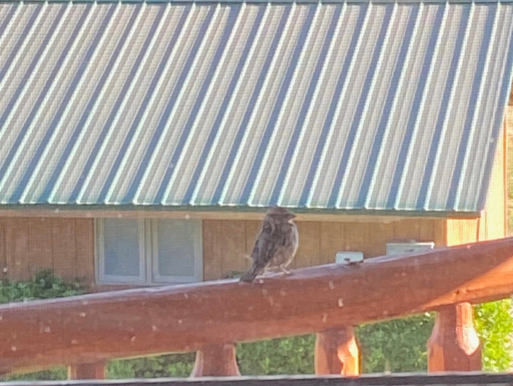
I feel like I have to tear myself away from our little home away from home in Olathe. The peace and calmness that I feel here fills my soul. But alas, leave we must. I take one last stroll around the farm lanes, coffee and camera in hand. The cows are grazing near the house this morning, and the redwing blackbirds are chirping along the fence, and even the horse is neighing at me. Goodbye, snow covered San Juan Mountains that I get to gaze upon every morning. Goodbye, family of house sparrows that are nesting in the eaves who wake me every morning.
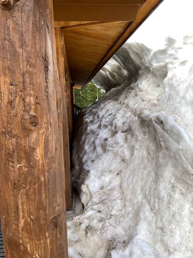
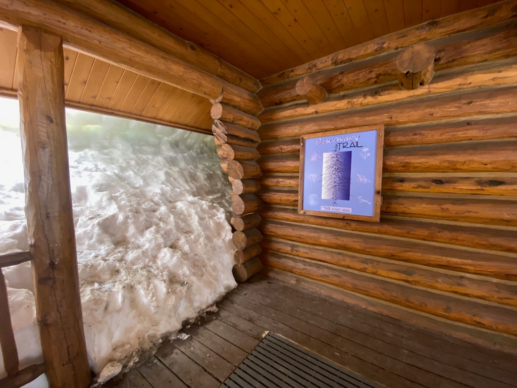
We pack up the car and head out, headed toward Boulder, with a stop in Glenwood Springs for lunch. About 30 minutes into the trip, our navigation tells us to do a u-turn because there is a crash on I-70 that’s has the interstate closed. This little redirection routes us through Grand Mesa, elevation 11,237. On the drive up, the aspen groves are glorious with their bright white bark and newly grown leaves. There is snow, and a lot of it, and frozen lakes. We stop at the visitor center and see snowdrifts taller than we are! We are so thankful for this little misadventure!
Back on the road, we arrive in Glenwood Springs around 2 pm, and stop in at Grind right across from the train station for another “linner” that will tide us over until tomorrow. it’s a quick stop because we are ready to be out of the car! Two more hours in the car, drop Caroline at her house and head to our hotel in Broomfield to rest and get ready for the last event of our trip together, the Bolder Boulder 10k! None of us is really amped to run after all our hiking, but we know it will be a fun time.
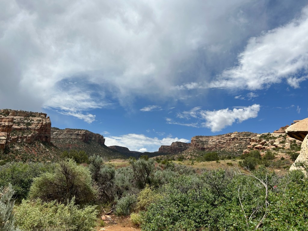
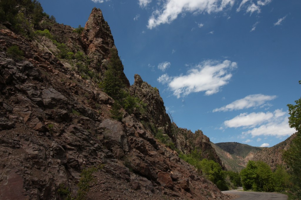
Our initial intention was to explore Crested Butte or Telluride, but we are weary of riding in the car, so we decide to check out the Colorado National Monument, which is not a monument in the sense of a structure, but acres and acres of sandstone buttes and mesas, lava rock and gneiss. We are out of the house by 8:15 with sandwiches packed and are excited to drive a different direction and see different scenery.
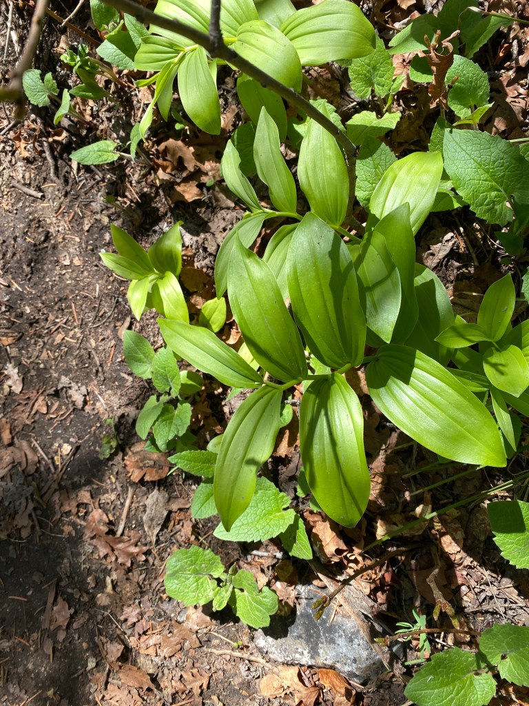
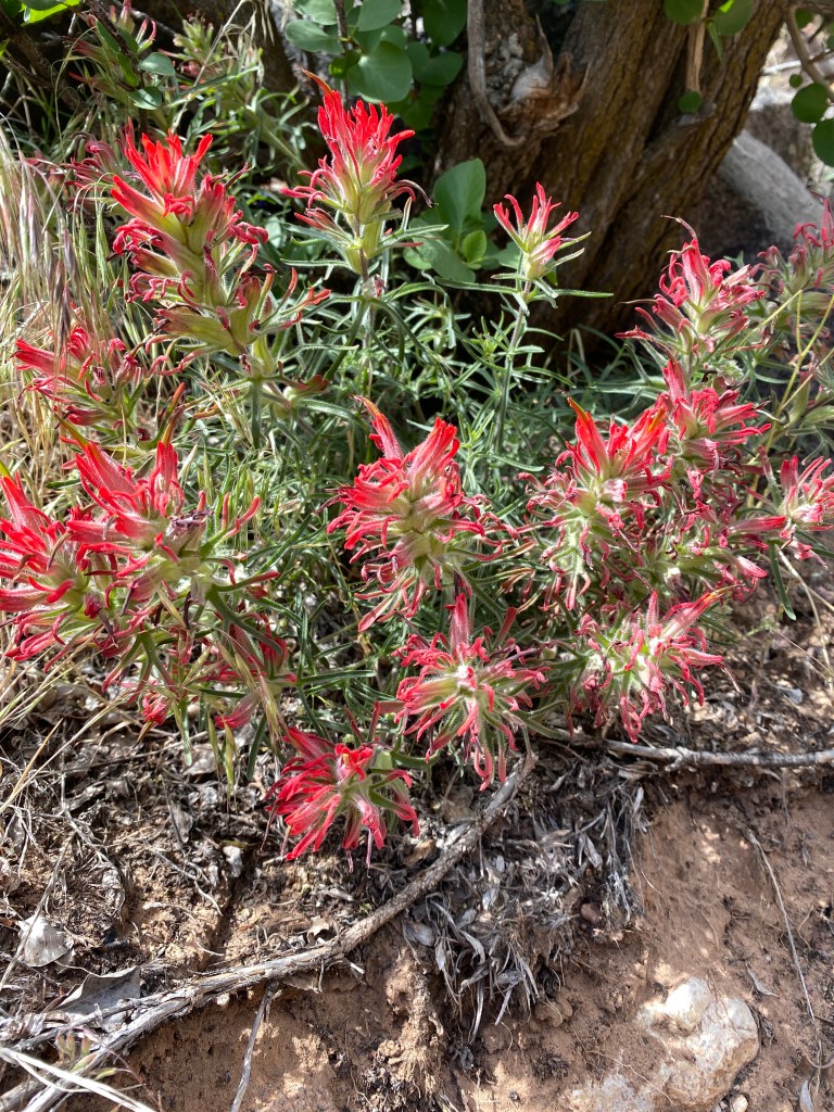
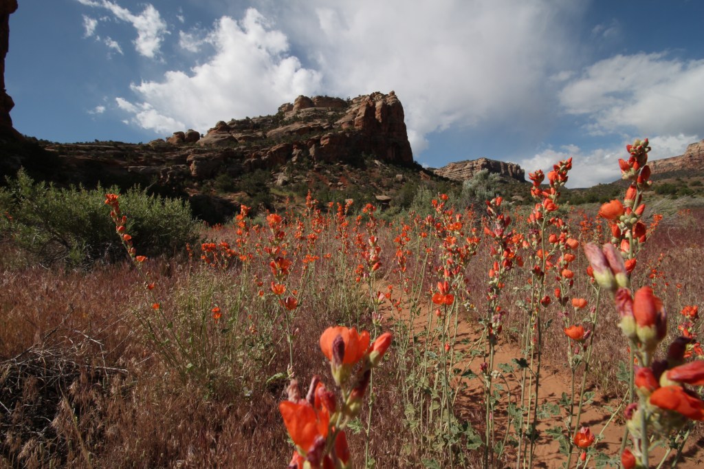
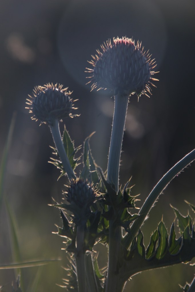
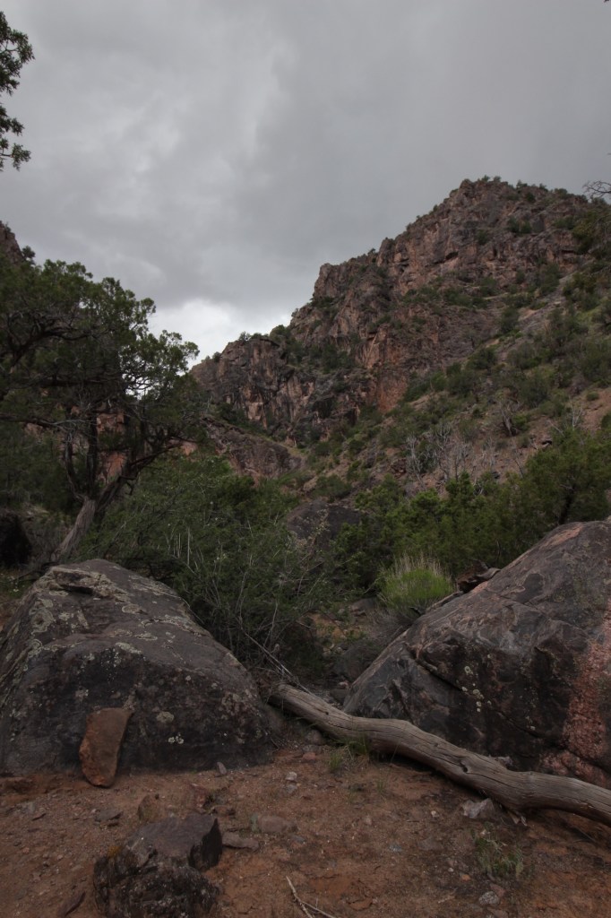
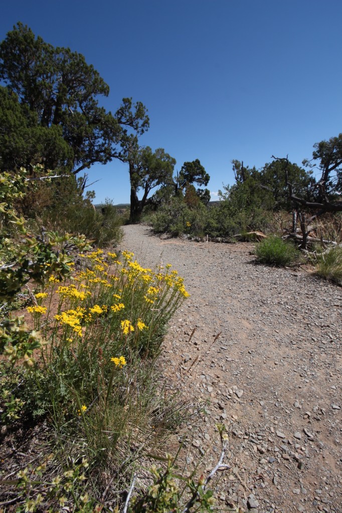
We are hiking the No Throughfare Trail, which is sandy rather than dirt and roots. Geologic formations surround us, yet we are hiking alongside beautiful wildflowers, cacti and aromatic shrubs (stay tuned for an episode of Flora of Colorado).
I’m hiking slowly scanning the hills for BigHorn sheep, but the most I see is humans.
About a tenth of a mile before the waterfall we are hiking to, the big black rain cloud I’ve been eyeing ahead of us lets out a large clap of thunder and it starts spitting rain. The crew is ahead of me on the trail but I have to stop and stow my camera out of the elements, get my rain coat and hat out. By the time I maneuver everything into place and make it to the waterfall, they are done taking pictures there and we turn around and start hightailing it it back.
I’ve had a bad hiking experience with thunder and lightning before, so I am a bit tense about being out in the thunderstorm. So, when we get a super loud clap of thunder, I scream like a little girl. I don’t feel bad because Kim is letting a choice four-letter word fly.
Soon the rain turns to hail. Good Gravy it can only get worse if we get stuck in a flash flood! But we don’t, that’s just my mental drama, the rain and hail stop in about ten minutes and my heart rate goes back to normal.
We stop for a picnic lunch and grab some corny group photos, then head to Peach Street Distillery in Palisade for a much deserved adult beverage. Then back to Olathe for our last night in our superb accommodations. We reminisce about family road trips of our youth. The gas station bathrooms where you had to get the key inside and it was on a long piece of wood, the disgusting cloth towel roll to dry your hands and the dads who wouldn’t stop for a bathroom break until the car needed gas!
It’s our last night in Olathe and we have truly been blessed with great weather, great friendships, and more fun than humans should be allowed to have. Tomorrow, we drive to Boulder.
Kim, Vicki and Caroline all earned trail names today. Kim: “Pockets” because she is always wearing pants/shorts/tights with pockets, and her phone always pocket dials or starts the Garage Band app when it’s in her pocket. Vicki: “The Gneissest” because she truly is the nicest. She goes with the flow, doesn’t bust our chops like the rest of us do to each other, and is truly the nicest person. Caroline: “Cupcake” because she is the best hostess. She has provided home made meals for our stay, helped with the itinerary, chauffeured us around…..we are in such a better state than if we’d been left to our own organizing.
Today’s adventure took us to the Black Canyon of the Gunnison National Park. It was a short 45 minute drive from our basecamp in Olathe. Caroline had warned us that looks are deceiving; the road up to the canyon looks so unassuming and uninteresting, but behind the unassuming is the wow.
She wasn’t kidding. There honestly are no appropriate adjectives to describe the massive chasm. We were lucky enough to hear a spiel by one of the rangers about the development of the canyon. “Just remember: grow, blow, flow.” First there was the Gunnison uplift (grow) then the volcanic eruptions of the San Juan and West Elk mountains (blow) and finally the Gunnison River cut into the Uplift to form the canyon (flow).
The Canyon from Visitor Center, with West Elks in the background
This is a canyon I’d never heard of before this trip, and geologically, just as interesting as the Grand Canyon, if not more so.
We start our hike at the overlook behind the visitor center to get a better idea of the expanse. The Gunnison River looks so tiny all the way down there, it’s hard to believe all the work it did. Walking along the ridge, we see mica glinting in the dirt, like fairy lights welcoming us.
Soon we start our descent into the canyon. Pines, aspens, and serviceberry bushes are just enough dispersed to allow a peek of the canyon walls. Wildflowers decorate the sides of the trails.
We make it to the bottom (not the real bottom!) and can walk right up to the massive canyon wall, then follow the trail back to the visitor center.
Next we drive down East Royal Road to the very bottom of the canyon. Oh, boy do we feel tiny and insignificant. This canyon was here millions of years before us and will most likely be here millions of years after us….but what will it look like then? How will it have changed? Will there be humans sitting here having the same thoughts?
Back up to the main road and drive to some of the overlooks for different vantage points. Vegetation grows lush on one side of the canyon, but not the other. One side has a roughly 93% slope, while the other side is only 67%. At one end the width of the canyon is no wider than the visitor center. It is overwhelmingly breathtaking, unbelievable and truly amazing.
We’ve worked up quite the appetite after all that pondering of human existence so we head to “linner” in Montrose at Horsefly Brewing where there is “no crap on tap.” Tis true. The beer is delicious and the food is yummy, and we have lots and lots and lots of laughs. I can’t even remember what we were laughing about, I only know it was so funny I was crying. Good times.
Back home to hose ourselves off, and then Carol and I take a walk around the farm lanes, and try to figure out what’s growing. There is a rousing game of Scattergories, reading, then lights out.
I get up to try to shoot Milky Way and stars, but for the second night, clouds have rolled in. One night left to try. Tomorrow Colorado National Monument!
We have changed Carol’s trail name to Braveheart, because twice she has saved us from encroaching insects with nary a thought. And she is quite brave, and has a good heart, so it fits.
Today we were up and out by 5 am for our 3 hour and 40 minute drive to Mesa Verde National Park. Lunch and snacks were packed the night before so all we had to do was wake up, grab our packs (and coffee) and go.
Leaving so early we were almost the only car on the road. As the sky lightened with sunrise, we were able to take in more of the sights along the way. We drove by the snow covered peaks of the San Juan mountains, saw several herds of elk grazing in fields, cross country ski tracks in the snow along the roadside and even a mostly frozen lake.
About an hour and a half into the trip, the terrain completely changed. No longer were there jagged snowy peaks. Instead. tree covered mountains where the dark green of the ponderosa pines contrasted with the white bark of the aspens that are just starting to show their leaves.
With one hour left to go, we roll through the town of Delores, population 901. On the other side of town, we find the terrain change again, opening up into a wide valley, with Mesa Verde National Park rising up straight ahead of us.
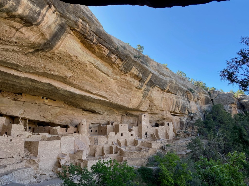
We had booked a 9 am ranger-led tour of Cliff Palace, the largest cliff dwelling in Mesa Verde National Park. We met our tour guide and the rest of the tour group at the overlook to Cliff Palace and began the tour with a walk down steep carved stone steps. The tour group gathered at one end of the dwelling and listened as our ranger, Maggie, told us about the history of the dwellings and the lives of the inhabitants. The Ancestral Puebloans who occupied the dwellings began building around 1190, but abandoned the sites around 1300, probably due to resource constraints brought on by several megadroughts. More stone steps, narrow sandstone passes, and multiple wooden ladders brought us to the end of our tour.
Cliff PalaceComing up one of the ladders
After Cliff Palace, we got out on the trails. Our first hike, Soda Canyon Trail, gave us the opportunity to view across the canyon another well-known dwelling, Balcony House. The mesas and canyons were so vast it was hard to take everything in and of course, pictures just don’t do it justice. We all kept saying, “Wow.” We had no other way to describe the beauty. After Soda Canyon, we stopped for a picnic lunch, and then tackled Petroglyph Point TrailL, a 2.4 mile trail along stone steps, narrow ridges and abandoned dwellings. The highlight was a large petroglyph panel with over 30 figures of hands, spirals and animal figures.
Balcony HousePart of Petroglyph Point Trail
Thankfully the hike back to the start was on top of the mesa, and we were glad to be done with stone steps! We were all pretty drained from the combination of an early start, long drive, hours out in the sun, and time on our feet, so we said goodbye to Mesa Verde and headed back to our home for the week.
And….two of us now have trail names. Carol earned the trail name Fact Finder, for her ability to find the answer to all our oddball road trip questions.
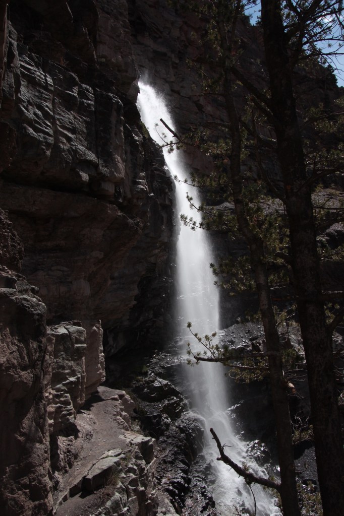
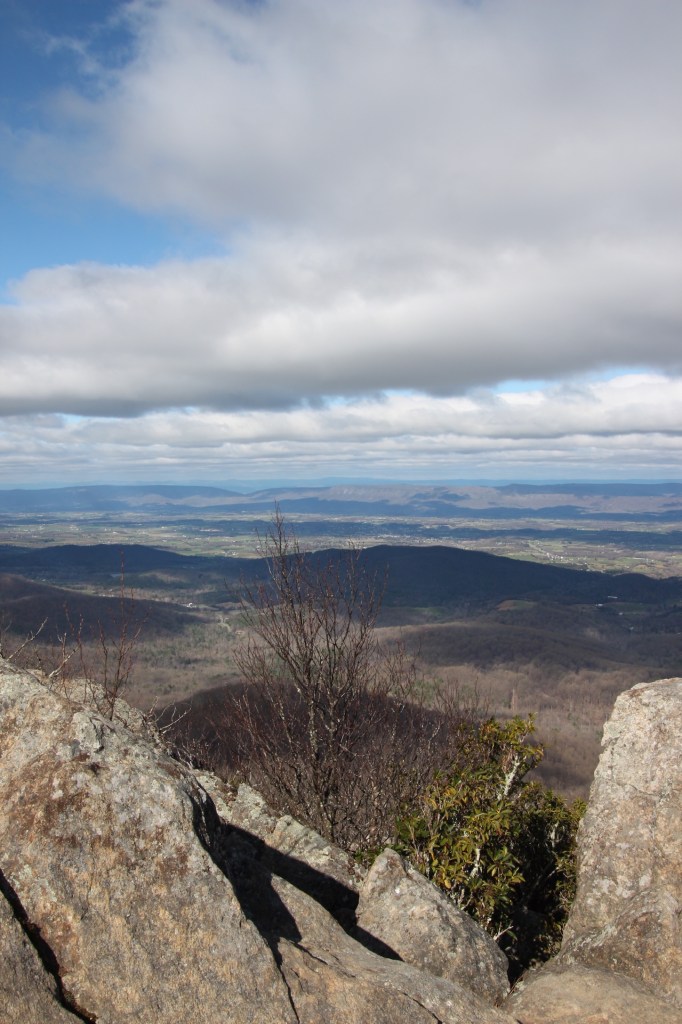
After a good night’s sleep and a morning that did not require an alarm, we got our hiking gear together and headed out to our first hiking adventure in Ouray. Called “The Switzerland of America” due to the Alps-like peaks that surround the town, it’s elevation of 7760 meant our first hike of the trip would most likely be a struggle. After a quick stop in the visitor’s center, where we were greeted warmly by knowledgeable staff (and free cookies and sunscreen), we headed out to the Perimeter Trail, which encircles the town. This trail is no gentle hike..it starts out steeply uphill, and we were surprised at how difficult it was…we really felt out of shape, But the views we got of the town as we climbed were simply breath-taking, no pun intended. We made our way to Cascade Falls and stopped for some photos.
View from Perimeter TrailCascade Falls
We hopped off the trail and headed into town for some lunch before tackling Box Cañon. We decided to dine outside at Maggies Kitchen,…the burgers were delicious and the staff delightfully entertaining. We found out one of them was from Virginia, so perhaps there was some kindred spirit thing going on!
After lunch we walked through town popping in and out of shops, eventually making our way to Box Cañon. What a site to see! The incredible force of nature on display with a 285 foot waterfall plummeting into a narrow canyon.
We were intrigued by the list posted outside the visitor center of wildlife recently seen…we felt bad for the “lesser chipmunk” (which I think is actually the “least chipmunk”) for its unfortunate name indicating a substandard species!
On our way back to Olathe, we took a side trip to view Mt Sneffels, one of the most photographed sites in Colorado. Words and pictures don’t do it justice, but I’ll leave it at this: wow.
The five of us had joked about giving ourselves trail names, like Appalachian Trail through hikers do. Well, I’m the first to get mine. I’m now called Nature Nerd, and I’m okay with that. As my niece said, it’s good to be a nature nerd because someday, someone’s going to have a specific nature question, and you’ll be able to teach them something. And considering we are striving to learn something new each day of this trip, I might be able o make sure that happens.
Early departure tomorrow….headed to Mesa Verde National Park!
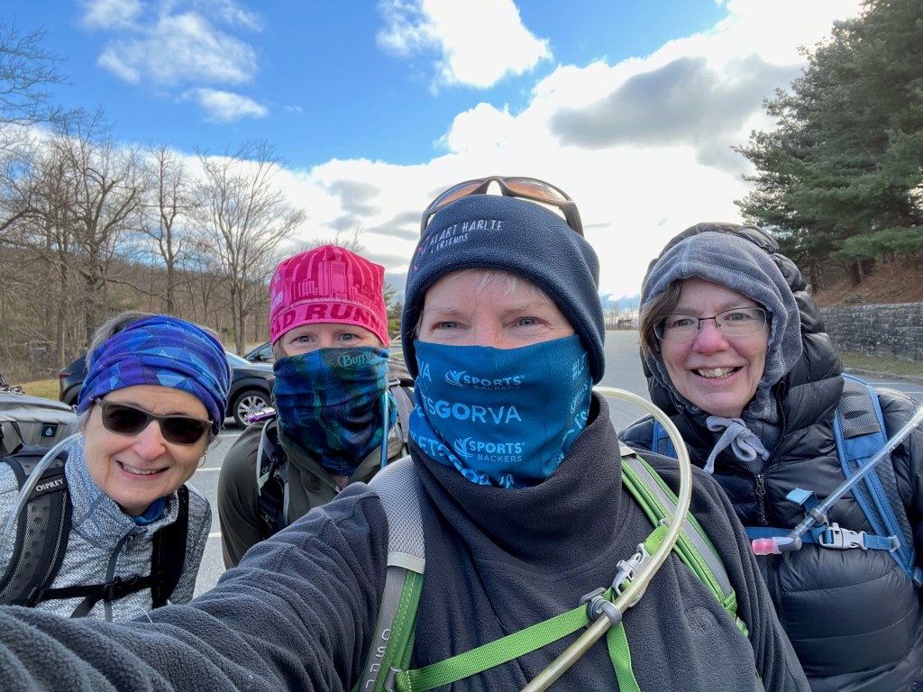
The four of us decided to get some practice hiking done to test out new gear and get our legs ready. We drove up to Mary’s Rock in Shenandoah National Park, a trail about 3.5 miles long with 1200 ft elevation gain. We arrived at the trailhead to find it cold and blustery, so we were super happy we all had hats and gloves. Everyone’s new backpacks were comfortable, and water bladders all worked fine. With our early morning start, we were the first to the summit, and had it to ourselves for about 10 minutes before other hikers started arriving. Of course any good hike ends at a winery or brewery, and we made no exceptions this time, enjoying the selections at Valley Road Vineyards. General consensus: we can do this!
Today I helped Vicki get a backpack for the trip. She had done her research and had found one she liked online, but when we got to the store and she looked at it in person, she knew it wasn’t for her.
The big thing I look for in a backpack/daypack is the ease of getting to ‘my stuff’ inside. I like the packs that have the big zipper 3/4 of the way around so I can easily find what I’m looking for or rearrange items. I also like a pack with waist pockets…the perfect place for tissues, snacks, pepper spray – anything that I might want to access quickly. And of course, space for a water bladder.
Vicki tried several on and found that some were super uncomfortable for her, but she settled on a nice Osprey pack. It’s great to do research on gear, but there’s nothing better than checking it out in person to make sure it works for you!